Study Description


Springfield is a city that grew up around its rail lines and was, at one time, an important railroad junction. Almost all of the people and goods coming into and out of the City were carried by rail. The situation at the beginning of the Twenty-first Century is vastly different. The City has significantly fewer rail lines; people arrive mostly by car; and almost all of the products sold or used in Springfield move by truck.
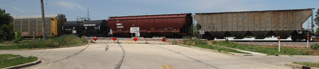
A vestige of Springfield’s rail-centric past is that there are currently three north-south railroad corridors that run through the City. Generally speaking, these corridors are Third Street, Tenth Street and Nineteenth Street. All of these corridors create physical and psychological barriers in the neighborhoods they divide. Roadway-railroad at-grade crossings are, by definition, hazardous intersections. There are currently 73 at-grade crossings in the study area which create traffic congestion and safety issues when they are blocked by trains.
The Union Pacific Railroad (Third Street) is constructing a new intermodal rail yard near Joliet. If Union Pacific’s business grows as the company hopes, there will eventually be up to 22 freight trains on its Third Street line each day. IDOT has applied for federal funding to construct a high speed (110 mph) rail line from Chicago to St. Louis that will pass through Springfield also on the Third Street track. The combination of these 18 passenger trains with the Union Pacific freight trains will require a second track on Third Street to accommodate a total of 40 trains per day. IDOT, the City and the County have agreed to study a minimum of two options to accommodate this increase in rail traffic:
- Double track Third Street as described above;
- Move the Third Street and Nineteenth Street trains to Tenth Street and consolidate all of the rail traffic into one corridor. Locating all the trains along the Tenth Street corridor will require a total of three to five tracks to handle increased rail traffic.
In addition to the alternatives listed above, the study will include an evaluation of all feasible alternatives for accommodating the rail traffic and provide the rationale for eliminating any alternatives.
The study is being funded by IDOT and will be directed by the City and County. The result will be a recommendation which will be documented in an engineering report and an environmental document. At the end of the study, the City will be in a position to apply for funding to begin final design and land acquisition.
The limits of the study are Stanford Avenue on the south and Sangamon Avenue on the north. The study should be completed in the spring of 2011. An extensive public involvement program will be integral to the study, offering numerous opportunities for citizens to provide input and stay informed.